


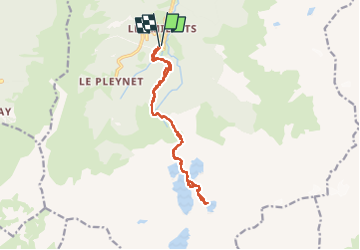

12,2 km | 28 km-effort

Gebruiker


Gratisgps-wandelapplicatie
 SityTrail
IGN / Geografische instituten
SityTrail World
De wereld gaat voor u open
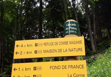
Tocht Stappen van 16,2 km beschikbaar op Auvergne-Rhône-Alpes, Isère, Le Haut-Bréda. Deze tocht wordt voorgesteld door ranchoup.
Très belle et consistante rando faite le 15/09/2024.
Un peu de neige sur le chemin le matin à partir du lac Noir mais a fondu dans la journée : les sommets sont restés blanchis.
En prenant son temps, il faut 4h30 à 5 h pour aller jusqu'au lac Blanc et ça vaut vraiment le coup.
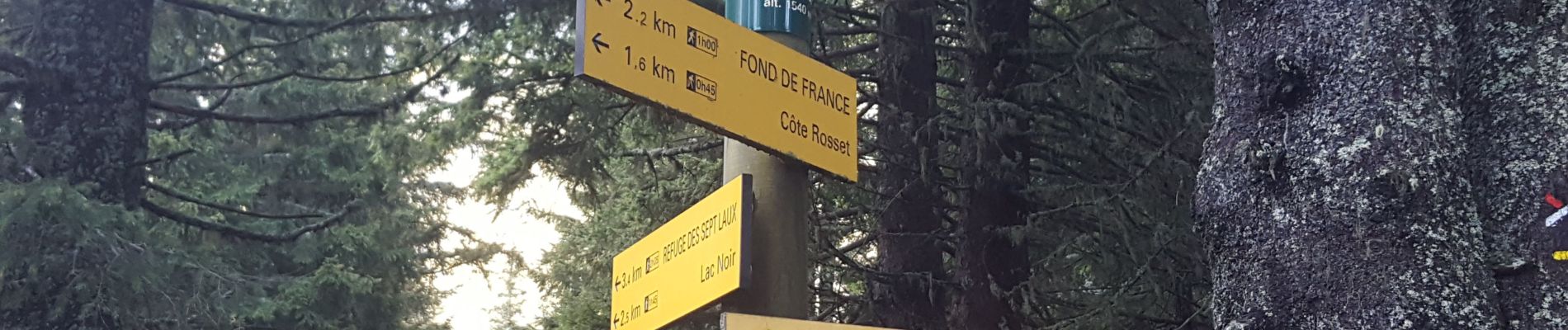
Le chemin (GR738) jusqu'aux 7 Laux présente plusieurs passages pas toujours aisées soit à cause de nombreuses racines pouvant être glissantes (1ere partie) puis des passages avec chemin raide et caillouteux ,un peu "casse-pattes" mais l'effort est récompensé à l'arrivée aux lacs.
La trajet entre le lac de la Ratoune et le lac Blanc se fait sur la moraine en suivant les cairns .


Stappen
Stappen
Stappen
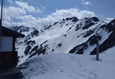
Ski randonnée

Stappen
Stappen
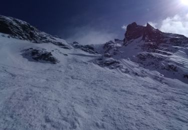
Ski randonnée
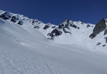
Ski randonnée

Andere activiteiten